Coastal Road Trips in British Columbia: Scenic Routes Along Canada’s Wild Edge
.png?auto=format)
Posted by on 16 Oct 2025
Planning a self-drive holiday through British Columbia’s Infinite Coast? Picture a journey where the rainforest meets the ocean, ferries glide between islands, and winding highways trace the contours of inlets and fjords. This is not a simple road trip—it’s an exploration of Canada’s wild Pacific edge, where every turn brings a new view and every ferry crossing feels like part of the adventure.
Travelling from Vancouver Island’s surf towns to the northern reaches of Prince Rupert and Terrace, the Infinite Coast invites discovery at every pace. You’ll pass through coastal villages steeped in Indigenous heritage, seaside markets bursting with local flavour, and lodges tucked between forest and sea. Whether you’re craving quiet wilderness, culinary discovery, or long coastal drives with ocean breezes through the window, this route promises an unforgettable connection with British Columbia’s west coast.
Trip Highlights
Follow the ocean north — from the surf beaches of Tofino to the misty fjords near Prince Rupert, discovering British Columbia’s coastal diversity in a single journey.
Sail and drive seamlessly, with scenic BC Ferries routes linking island highways to mainland inlets, turning travel into a series of sea-and-land adventures.
Meet the coast’s local storytellers, from Indigenous artists and fishing guides to chefs transforming fresh Pacific seafood into unforgettable meals.
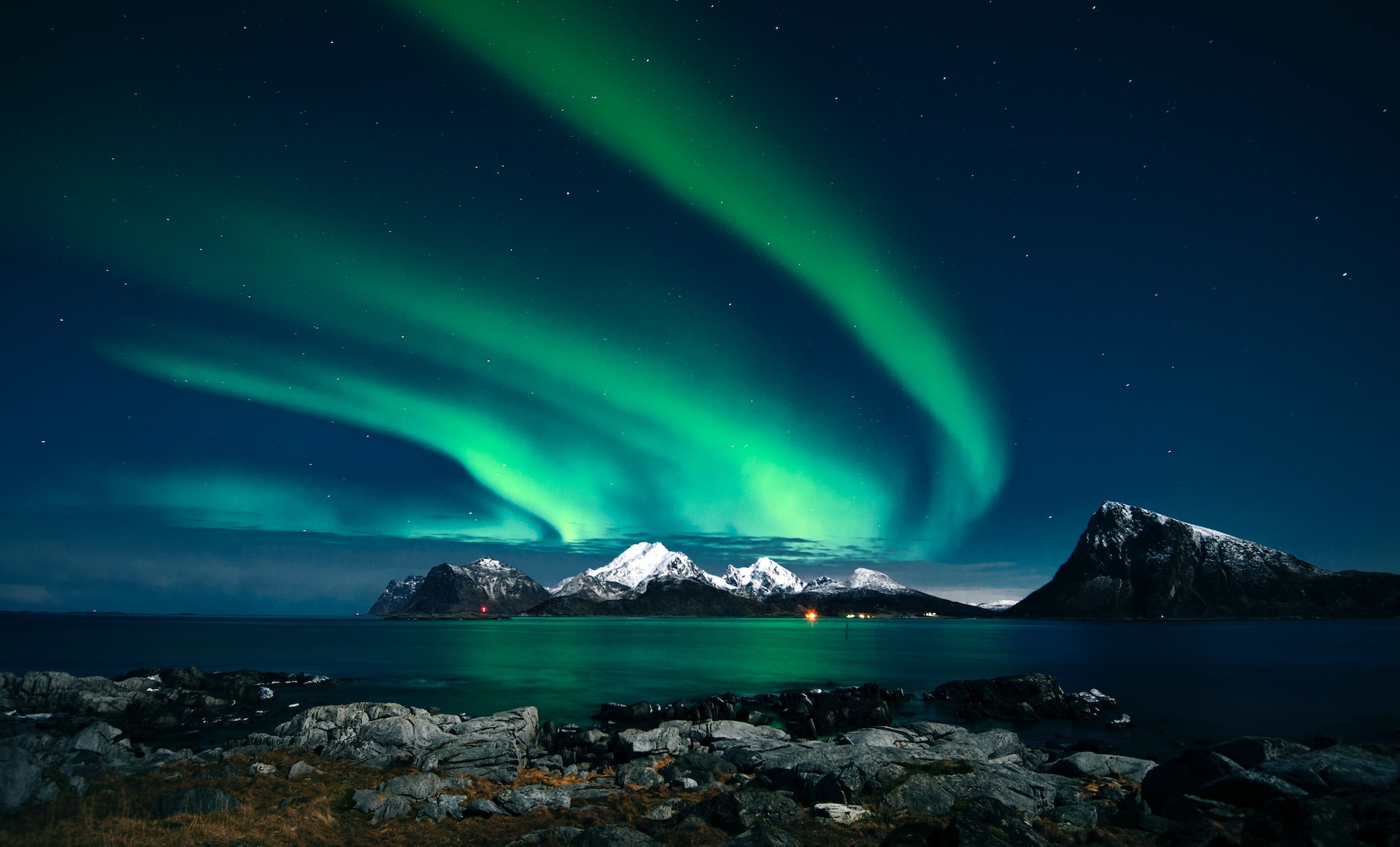
Venture into the north, exploring Terrace’s river valleys and Prince Rupert’s historic harbours, where wildlife, mountains and maritime culture converge.
Stay where wilderness meets comfort, with boutique lodges, rainforest cabins and heritage inns that reflect the character of each coastal community.
Coastal Driving Routes to Know
Vancouver Island to Tofino: Where the Rainforest Meets the Sea
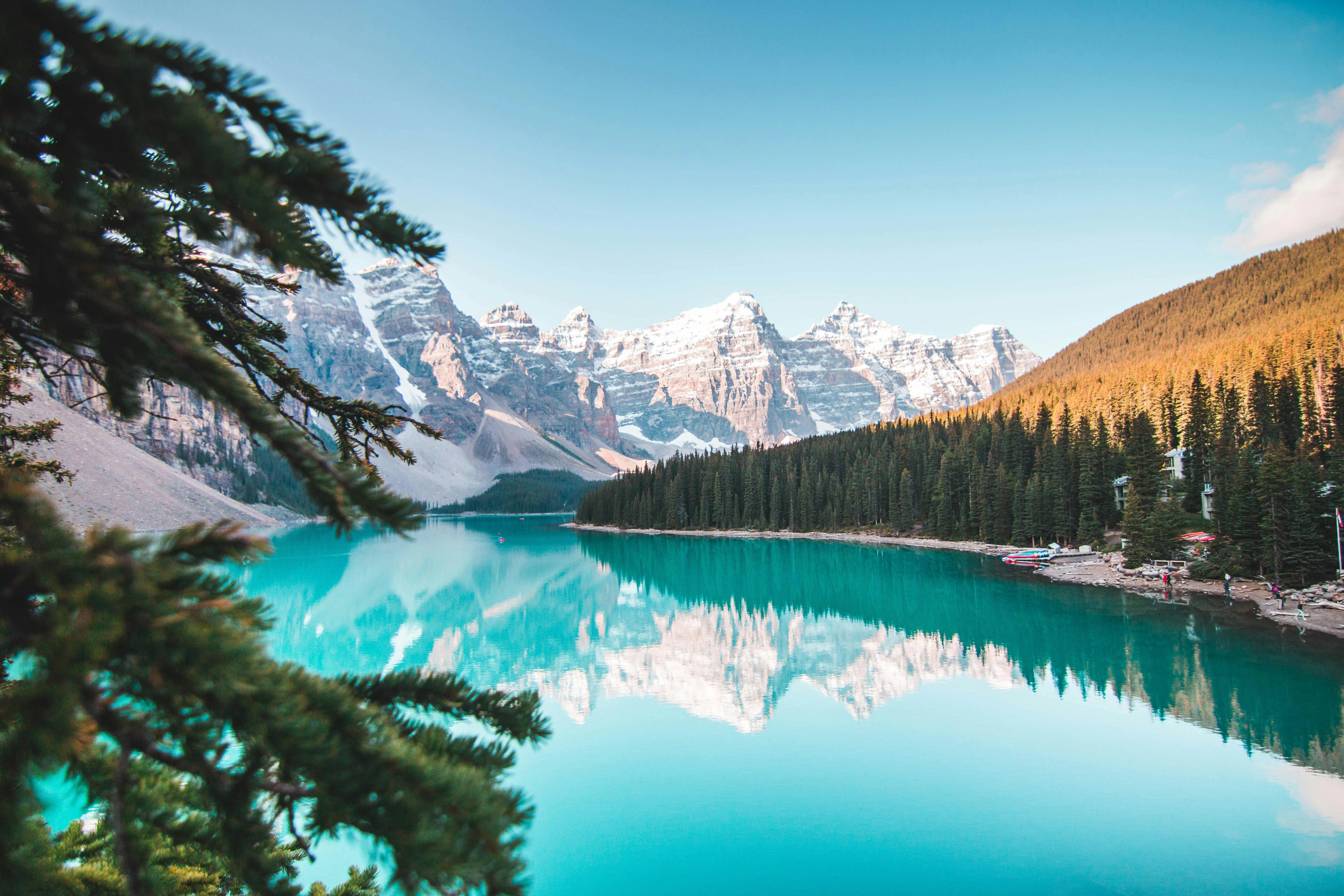
Start your Infinite Coast journey on Vancouver Island, where moss-draped forests and surf towns define the west coast spirit. The road to Tofino reveals a landscape shaped by nature—towering cedars in Cathedral Grove, waterfalls cascading near Little Qualicum Falls, and misty horizons at Pacific Rim National Park.
In Tofino and Ucluelet, days slow to the rhythm of the tides. Enjoy long beach walks, whale watching tours, or dinner featuring freshly caught halibut. Galleries featuring Nuu-chah-nulth art and local markets add cultural depth to the coastal calm.
Sunshine Coast and Powell River: The Spirit of the Coast
Heading north from Vancouver, the Sunshine Coast Highway threads through a mosaic of seaside villages and evergreen forests. Accessible only by ferry, this drive feels like a secret locals have long cherished.
Stop in Gibsons for oceanfront dining, explore Sechelt’s craft markets, and wander Smuggler Cove’s forest trails. Further north, Powell River welcomes travellers with heritage architecture, seaside cafés, and easy access to kayaking routes along the Desolation Sound. This stretch captures the essence of coastal living — creative, close-knit, and deeply connected to the sea.
The Northern Stretch: Prince Rupert, Terrace and Beyond
Beyond Powell River, the Infinite Coast continues into British Columbia’s remote north, where road and ferry routes weave between mountains and fjords.
Follow the Yellowhead Highway (Highway 16) east from Prince Rupert, a harbour town known for its rich Indigenous culture and coastal wildlife. From here, the journey inland leads through Terrace, framed by the Skeena River and surrounded by old-growth forests.
Each stop reveals a different side of the north — fishing communities, wilderness lodges, and trails where eagles and bears are never far away. This less-travelled region rewards those who seek solitude and authenticity, combining the grandeur of the landscape with genuine local warmth.
Must-See Stops & Local Delights
Cathedral Grove – Walk beneath centuries-old Douglas firs on Vancouver Island.
Tofino & Ucluelet – Enjoy coastal dining, surf culture, and ocean-view trails.
Gibsons & Sechelt – Visit artisan studios and sip locally roasted coffee by the marina.
Powell River – Explore the historic Townsite district or catch a local music festival.
Prince Rupert – Discover Indigenous art at the Museum of Northern British Columbia and embark on a wildlife or whale-watching tour.
Terrace & Kitimat – Base yourself at a riverside lodge and explore nearby hiking trails or hot springs.
Expert Travel Tips
Plan your schedule carefully. Ferry reservations are essential, especially in summer and for popular crossings (e.g. Horseshoe Bay to Nanaimo, Earls Cove to Saltery Bay).
Allow buffer days. Coastal weather, ferry delays or tides may shift plans.
Stay overnight in smaller communities, as this deepens the journey and reduces pressure.
Fill up fuel early. Remote coastal stretches often have long gaps between gas stations.
Respect local and Indigenous customs. Ask before photographing, support local artisans and follow signage.
Sample Itinerary: A 14-Day Coastal Explorer
Day | Region | Highlight Drive / Stops |
1 | Vancouver → Nanaimo | Ferry to Vancouver Island, begin north via Island Highway |
2 | Nanaimo → Tofino | Drive via southern island, stops at falls, forest |
3 | Tofino / Ucluelet | Beach walks, rainforest trails |
4 | Tofino → Campbell River | Scenic return east, forested valleys |
5 | Campbell River → Port Hardy | Drive Highway 19 north |
6 | Port Hardy → Prince Rupert (ferry/leg) | Northbound ferry segment to coast or direct sea crossing |
7 | Prince Rupert | Explore town, local culture |
8 | Prince Rupert → Terrace | Enter inland Highway 16 corridor |
9 | Terrace → Smithers | Mountain passes, river valleys |
10 | Smithers → Powell River region | Travel via connecting routes toward coastline |
11 | Powell River | Rest and coastal exploration |
12 | Powell River → Sunshine Coast | Drive Highway 101 segments and ferry links |
13 | Sunshine Coast exploration | Coastal villages, forest trails |
14 | Return to Vancouver | Final ferry leg and coastal drive |
Traveller Stories
“I didn’t expect the ferry crossings would feel part of the drive—each sea leg felt like a chapter in itself.” — Sarah J., 2022
“Driving into the rainforest, pausing at waterfalls, ending the day in a small harbour town—this trip felt layered.” — Marcus W., 2021
Frequently Asked Questions
How many days do I need for a coastal road trip?
You’ll want at least 10 to 14 days to meaningfully explore Vancouver Island, Sunshine Coast and northern corridors without rushing.
Do I need to book ferries in advance?
Yes, you should reserve ferries (especially vehicle crossings) well ahead in peak season.
Are all roads continuous along the whole coast?
No, some stretches require ferry or air links. Coastal BC blends road and marine segments.
What’s the best time to drive the coast?
Late spring to early autumn (May to September) offers best weather, daylight and road access.
Do I need a visa to visit Canada?
Most Australian travellers don’t need a traditional visa but must obtain an Electronic Travel Authorisation (eTA) before flying to Canada. Apply online through the Government of Canada website.
How far is Powell River from Vancouver?
Powell River lies up the Sunshine Coast via ferry and driving segments, approximately 156 km along Highway 101 (including ferry links).
Can I drive from Vancouver Island to Prince Rupert entirely by road?
Not continuously. Many legs require ferry or boat connections. Use coastal ferries and plan for marine segments.
Do I need special permits or road passes?
Generally no, for highways. Some parks or remote regions may require bookings, permits or guided entry.
What about safety in remote areas?
Travel with a well-equipped vehicle, good maps, extra supplies and reliable accommodation plans. Mobile reception may be sparse.
Where can I check BC ferry schedules?
Visit BC Ferries official site for route maps and schedules.
References
The Road to the Infinite Coast
Every turn along British Columbia’s coastal highways reveals a story — an inlet reflecting the mountains, a fishing boat gliding across calm waters, or an artist carving cedar in a seaside studio. These are the moments that define The Infinite Coast, where the road is only half the journey.
At Entire Travel Group, our road trip itineraries blend independence with expert support. From planning ferry connections and boutique stays to recommending local favourites along the way, we make sure your exploration of British Columbia’s coast is seamless, scenic and deeply rewarding.